How · Yours
How to read the Global Fishing Watch map without overreading it
Global Fishing Watch turns vessel-tracking data and models into open map layers. It can reveal patterns of apparent activity, but coverage gaps, transmission limits and model choices mean a bright track is not a verdict and an empty sea is not proof of no fishing.
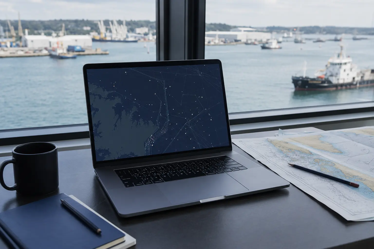
First identify what the layer is showing
Global Fishing Watch describes its map as an open platform for visualising and analysing vessel-based human activity at sea. Different layers can represent apparent fishing effort, vessel presence, tracks, encounters or other derived events.
The word apparent matters. For its fishing-effort layer, the organisation analyses tracking messages and applies models to infer when movements are consistent with fishing. A visual cell is therefore a processed observation tied to a method and time range.
- Name the active layer
- Set the exact dates
- Check units and legend
- Inspect whether the view is activity, presence or an event
AIS sees an important but incomplete part of the fleet
Automatic Identification System messages provide identity, position and movement information from transmitting vessels. Requirements and use vary, while reception, device strength, interference and intentional or accidental gaps affect what reaches a dataset.
Global Fishing Watch’s downloadable-data guidance explicitly warns that AIS covers only a fraction of the world’s fishing vessels, with stronger coverage among larger vessels. Small-scale and non-broadcasting activity can be missing. Absence on the map is not proof of absence at sea.
A track is evidence to investigate, not a legal conclusion
A vessel’s pattern may invite questions about speed, course, time, boundary crossings or transmission gaps. None of those features alone establishes illegality. Jurisdiction, permits, vessel identity, gear, local rules and corroborating records still matter.
Global Fishing Watch publishes data caveats and distinguishes apparent effort from specific events. A responsible reading keeps those definitions attached to any screenshot or claim.
- Record the vessel identifier shown
- Preserve date, layer and map link
- Check registry and jurisdictional sources
- Seek corroboration before making an allegation
Current direction: better pipelines do not remove uncertainty
Global Fishing Watch published a Version 4 data-pipeline release in February 2026 describing changes to the processing chain and known issues. The update is evidence that the platform and its outputs evolve rather than remain a static map.
The genuine opportunity is reproducible inquiry: researchers, journalists, managers and communities can use an open view to narrow questions and compare patterns. Eight June’s interpretation is that transparency works best when the caveat travels with the image.
Before you decide
Keep these five things with you.
- 01Name the layer and date range
- 02Read the data caveats
- 03Treat empty areas cautiously
- 04Separate modelled activity from legal findings
- 05Preserve identifiers and seek corroboration
How this story earns trust
Sources, method and relationship—visible.
Each reference is tagged by the geography and authority of the source. Country-specific evidence is never presented as a global rule.
Method
This Yours article translates Global Fishing Watch’s own map guide, downloadable-data caveats and 2026 pipeline update. It does not independently validate a vessel or fishing event.
Commercial relationship
Independent editorial. Global Fishing Watch and its partners did not pay for inclusion. The map is not a seafood certification or enforcement decision.
Correction or improvement
Found a mistake, a missing perspective or a source we should review? Send it to the editorial desk ↗
- 01Global Fishing Watch Map User Guide ↗
Global Fishing Watch. Layer use, apparent fishing effort and map workflow.
- 02Downloadable Fishing Effort Data ↗
Global Fishing Watch. AIS coverage and data limitations.
- 03Version 4 Data Pipeline Release ↗
Global Fishing Watch. Current processing changes, latency and known issues.
If this made you pause, pass the blue forward.
How to read the Global Fishing Watch map without overreading it
Ready to share
Made for personal and editorial sharing with Eight June attribution. Facts are shortened for the card; the article carries the full context, method and sources.
Useful questions
Quick answers,
kept specific.
Does a Global Fishing Watch track prove illegal fishing?
No. It can support investigation, but legality depends on identity, jurisdiction, permits, rules and corroborating evidence.
Does an empty map mean no fishing occurred?
No. AIS coverage is incomplete and varies by vessel size, carriage requirements, reception and transmission.
What should accompany a shared screenshot?
Include the active layer, date range, units, vessel identifier where relevant and a link to the applicable caveats.