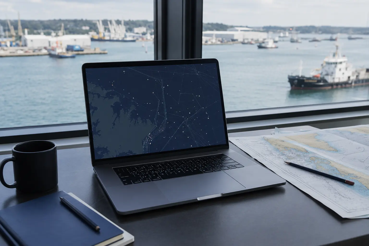
Global Fishing Watch Map
An open platform for visualising and analysing vessel-based human activity at sea using tracking data, models and published data layers.
Open the Global Fishing Watch map ↗Image: Eightjune.com editorial image · See Media Library attachment details.
The short story
More than
a name.
An open platform for visualising and analysing vessel-based human activity at sea using tracking data, models and published data layers. It can turn a broad ocean question into a traceable investigation when users keep layer definitions, dates, coverage limits and caveats attached.
Why it is here
A useful starting point,
not a verdict.
It can turn a broad ocean question into a traceable investigation when users keep layer definitions, dates, coverage limits and caveats attached.
This listing is informational. It is not an endorsement, certification, ranking or guarantee. Independently confirm identity, credentials, licences, safety information, price, availability, terms and current operating status before acting.
The researched view
Then, now and
what can be verified next.
This section follows the named sources. If a future direction is not published by the source, it is not added here.
Opening a large-scale view of vessel activity
Global Fishing Watch describes its map as the first open-access online platform for visualising and analysing vessel-based human activity at sea. It combines tracking data with models and published layers.
A map with useful caveats
The platform currently provides map layers, guides, datasets and APIs. Its own documentation warns that AIS coverage is incomplete and that apparent fishing effort is a modelled output, not a legal finding.
The processing chain continues to change
A Version 4 data-pipeline release published in February 2026 documented updated processing and known issues, showing why dates, versions and caveats need to travel with analysis.
Use visibility to form better questions
Record the layer, date range and vessel identifiers, then corroborate with registry, jurisdictional and local sources. Do not turn a track or gap into an allegation by itself.
Questions worth carrying
Take these to
the source.
- 01
Open the official source and confirm that its current scope matches what you need.
- 02
Check dates, location, eligibility, price, availability and terms before relying on the listing.
- 03
Independently verify any provider, product, claim or transaction connected with the resource.
Before you act
Use the listing
with context.
These checks are adapted to this kind of entry. The official source remains the place to confirm current details.
- 01
Open the official source and confirm that its current scope matches what you need.
- 02
Check dates, location, eligibility, price, availability and terms before relying on the listing.
- 03
Independently verify any provider, product, claim or transaction connected with the resource.
Controlling source
Continue with
the official record.
Pass the intriguing part forward—then let the sourced profile do the explaining.
The most important layer on an ocean map may be the caveat you keep beside it.
Image: Eightjune.com editorial image · See Media Library attachment details · cropped, colour-adjusted and overlaid by Eightjune.com.
Ready to share
Made for personal and editorial sharing with Eight June attribution. Card copy is shortened; the listing and its named sources carry the full context.
Continue exploring
Related names
in the blue.
More considered entries connected through the same Eight June world.
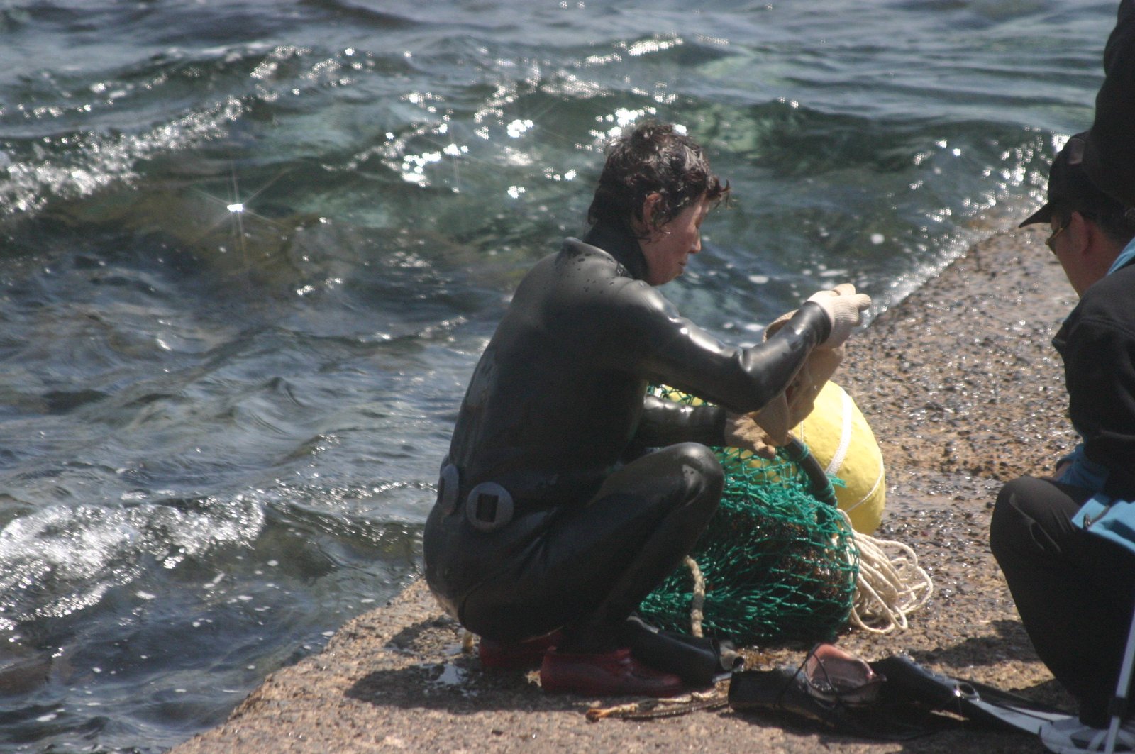
Culture of Jeju Haenyeo
Jeju Island · Republic of Korea
Jeju’s community of women breath-hold divers, recognised by UNESCO as living cultural heritage tied to marine knowledge, harvesting and intergenerational transmission.
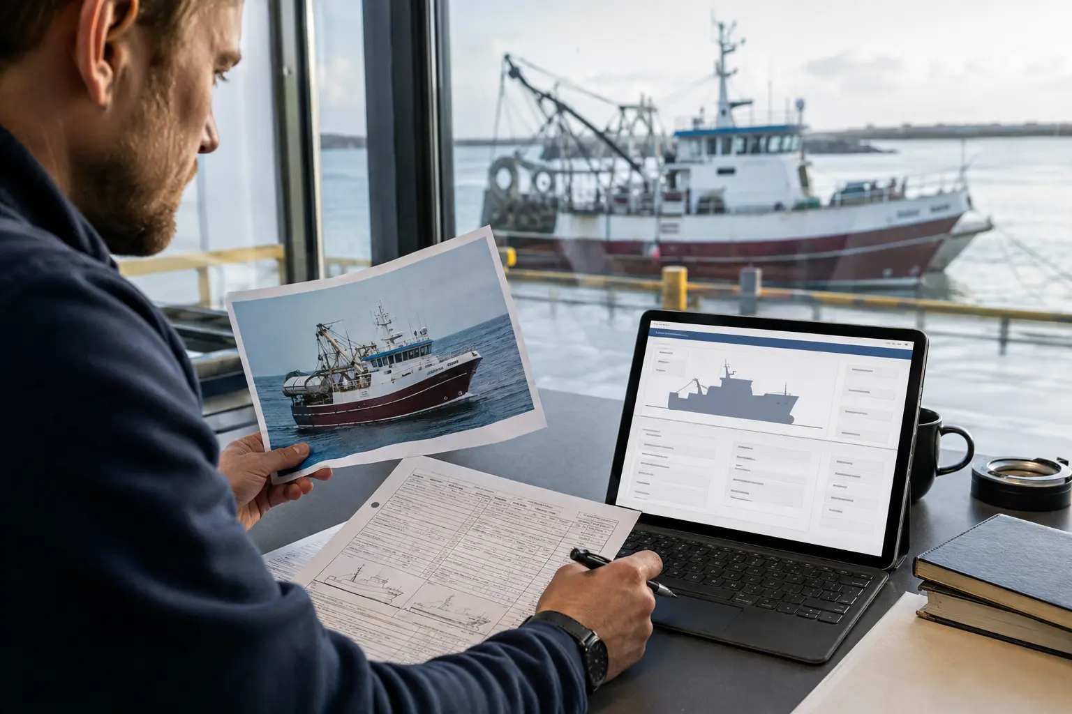
FAO Global Record of Fishing Vessels
Global · online
FAO’s public initiative for State-supplied identity and vessel-related information on fishing, refrigerated transport and supply vessels.
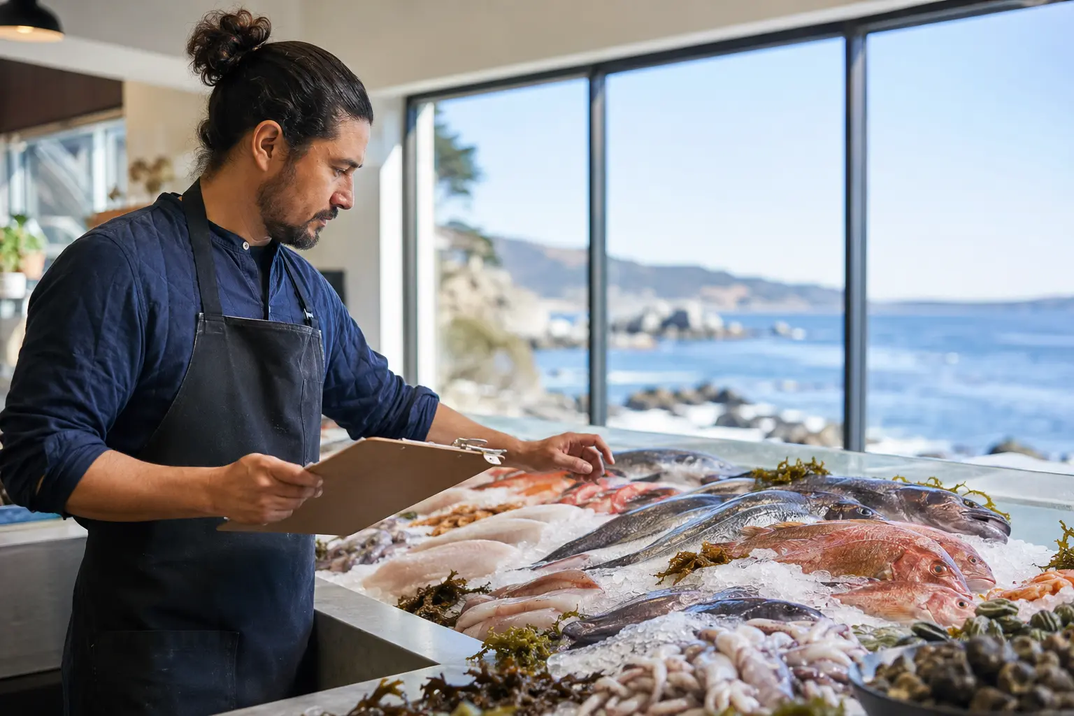
Monterey Bay Aquarium Seafood Watch
Monterey · California · online recommendations
The Monterey Bay Aquarium programme publishes seafood recommendations and methods by species, production place and fishing or farming method.
Submit, claim or correct
Bring a useful name
into the blue.
Suggest a new listing, identify your relationship to an existing one, or send a correction. Every submission is reviewed before publication.
Payment cannot buy verification. Commercial relationships are labelled wherever they apply.